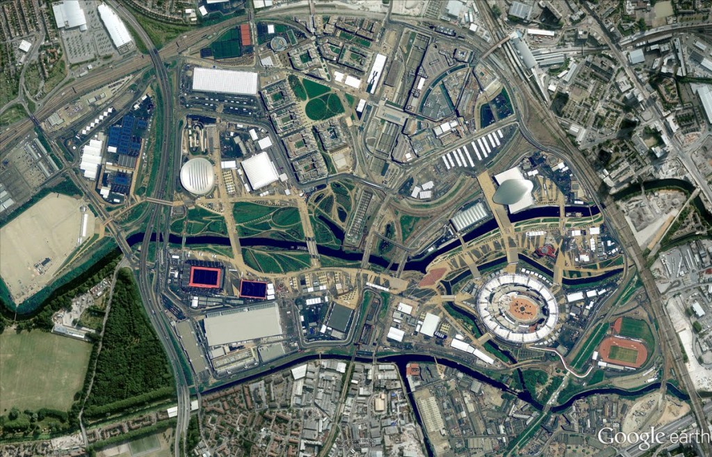
Google over the weekend has added more high-resolution serial and satellite photos to Maps and Earth, updating to both high resolution aerial and satellite imagery and 45-degree imagery, 45-degree imagery is also what Google uses to build its 3D models. The search giant has published new high resolution aerial and satellite imagery for twenty five cities and seventy two countries/regions. The full list is on Lat Long blog, although there is new 45-degree imagery in twenty one US cities and seven international locations. The list is huge and is worth checking it as who knows might be your location to the part of it.
(Image Source: Google Lat Long Blog)


